
Phase 2 GIS Mapping Exercise Project (Levuka/Ovalau Island)
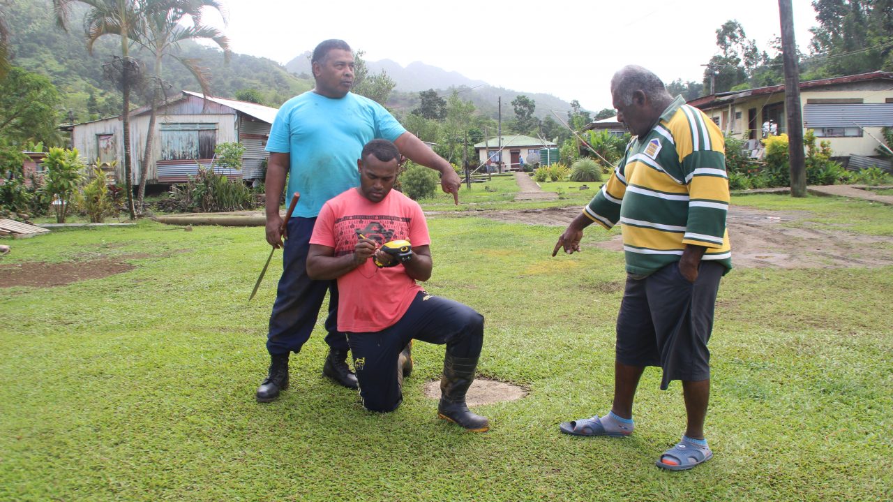
The Department GIS team had completed Phase 2 GIS Mapping Exercise on Ovalau Island covering the 11 villages of the 13 villages left from Phase 1 Mapping. The objective of this project to identify the various Heritage Sites i.e Natural Sites, Cultural Sites and Cultural Infrastructure that exists in Levuka/Ovalau Island.